

The more than 100-year-old Statsraad Lehmkuhl is packed with modern technology. Here’s how the ship finds its way across the ocean.
Thirty years ago, we had to unfold a paper map to find our way, and at sea or in the mountains the compass had to come out as well. Tricky, and not very efficient.
Today, it’s enough to pull out your mobile phone. It knows exactly where you are and shows you how to get to your destination. That’s because there’s a receiver inside it, a tiny device that picks up signals from a network of satellites 20,000 kilometres above us. We are used to calling it GPS, but the correct term is GNSS – Global Navigation Satellite System.
We'll stick to GPS, no longer one, but several systems.
A Military system
It all began with the NAVSTAR Global Positioning System, developed by the United States. The first of the 30 satellites in the system was launched in 1978, and the last in 1994. Since then, the satellites have been replaced several times.

The system was originally developed for military use. Only in 1983 did civilians gain access. During the first years, the Americans deliberately added an error to reduce the accuracy of civilian receivers from about 10 metres to 100 metres. This limitation was removed in the year 2000.
Russia has its own military system, GLONASS, which is also open for civilian use. China has BeiDou, and Europe has Galileo.

Galileo
In 2016 Galileo entered operation, and Europe finally became completely independent of military satellite systems. Galileo is entirely civilian, owned by the EU and ESA.
Galileo offers an accuracy of down to one metre - more precise than both GPS and GLONASS, especially at northern latitudes. Galileo can also work together with the other systems, providing even greater accuracy.
The first of the 30 Galileo satellites was launched in 2011, and the last in 2020.
How it works
Satellite navigation is both very simple - and very complex.
Do you remember sine and cosine from school? That you can find the length of the sides of a triangle if you know one side and two angles?

All surveying is based on that principle: creating a network of triangles and using them to locate new points.
All countries has been covered by such a triangulation network for many years. You’ve probably seen the markers on hilltops and ridges. To find your position using them, you’d need an instrument that can measure distances and angles. You must have clear sight from one marker to the next, and you must be able to calculate.
It’s time-consuming - but it works.

GPS moved this network of triangles into space. The satellites replace the markers on the mountaintops.
The satellites continuously transmit information about their position, together with an exact timestamp. The receiver in your phone, car, or boat picks up the signals and measures how long they take to arrive. That time delay is used to calculate the distance to each satellite.
This requires an extremely accurate clock and advanced signal processing, but the rest is just basic school geometry.
Three satellites are enough to calculate your position; four if you also want to know your altitude above sea level. The more satellites the receiver can connect to, the higher the accuracy. In practice, receivers use signals from at least four satellites at a time.
Chartplotter
Knowing only your latitude and longitude doesn’t help much. Coordinates show your precise position, but they don’t really tell you where you are - so to speak. We still need a map.
That’s why most GNSS receivers are integrated with a digital map system. It shows where you are, where you’ve been, and how to navigate to where you want to go.
Smart, but don’t throw away your paper maps. If your phone runs out of power or you lose contact with the satellites, having a paper map and a compass could save your life in the mountains or at sea.
This is the reason the chart room aboard Statsraad Lehmkuhl - packed with electronic chart displays - also have paper charts and a logbook where the ship’s position is recorded.
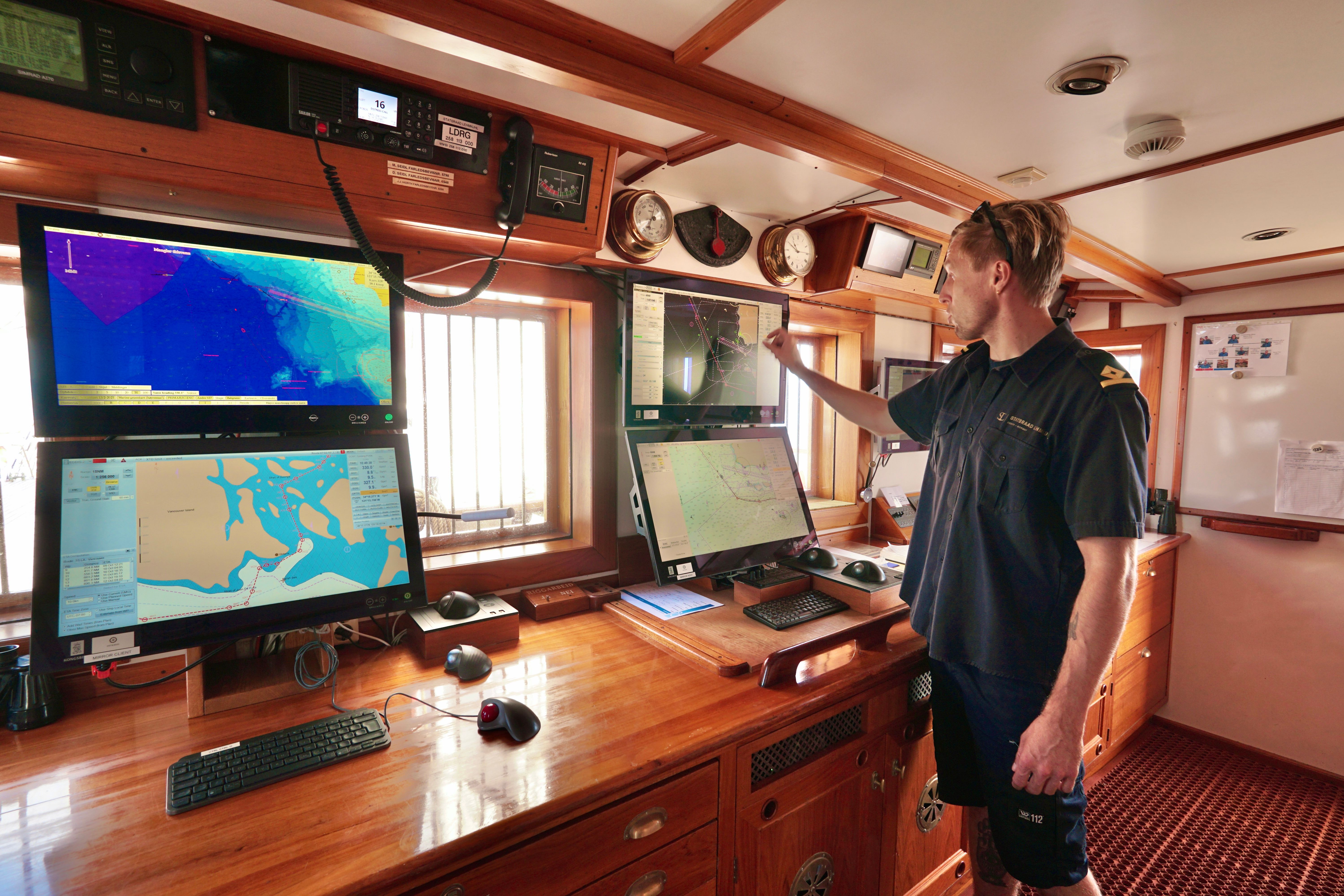
Photo: Hanna Helle
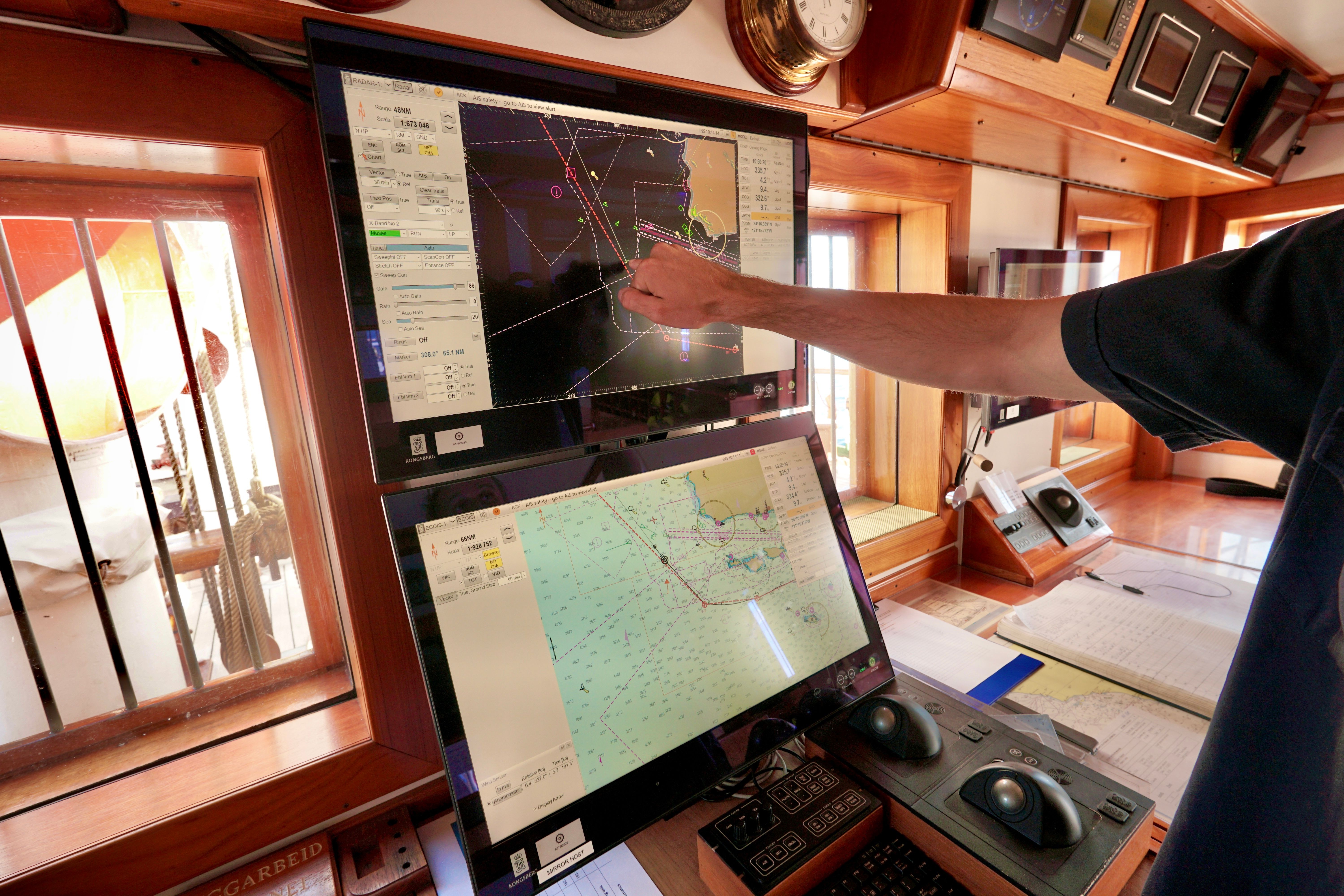
Photo: Hanna Helle
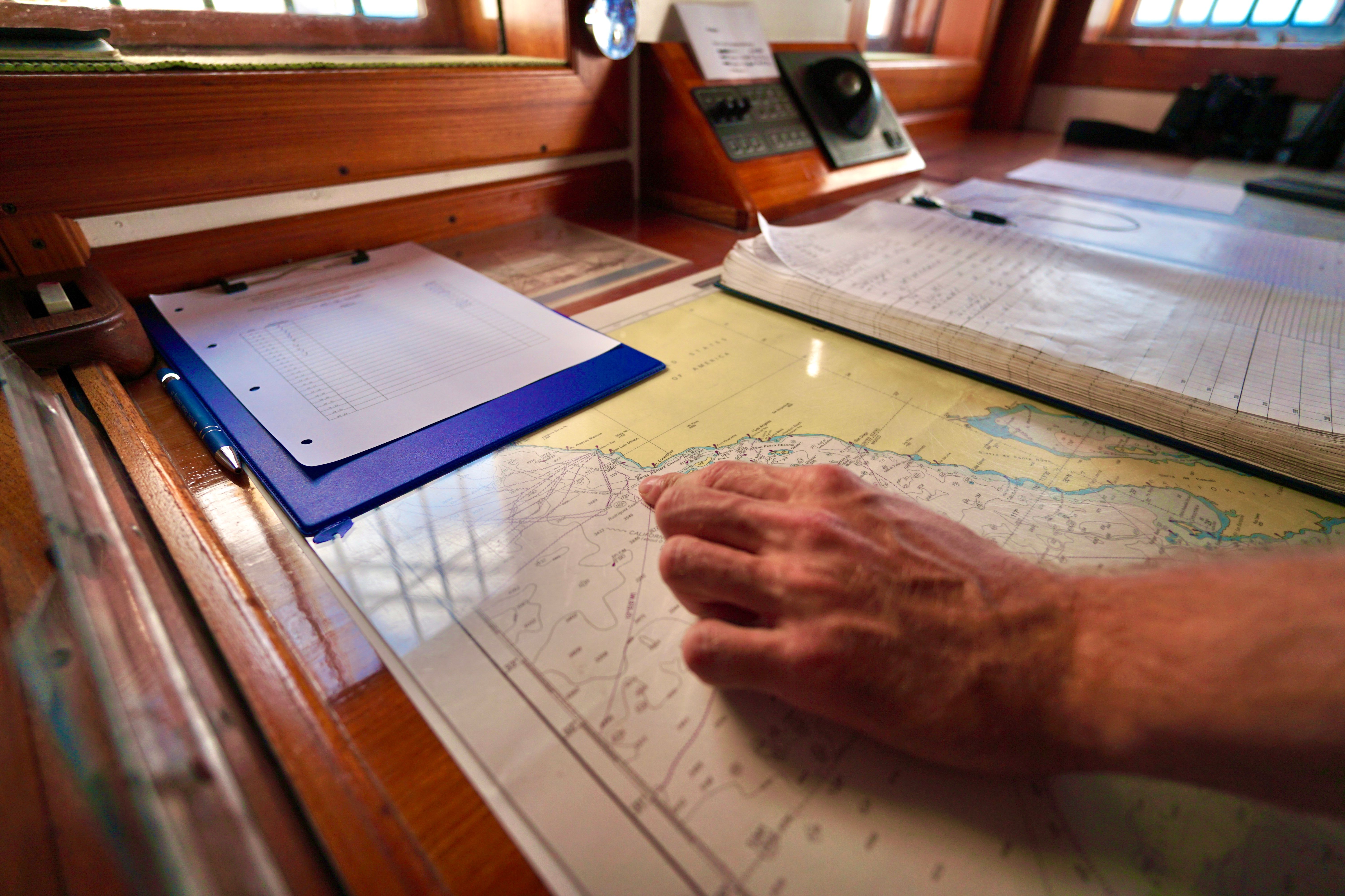
Photo: Hanna Helle
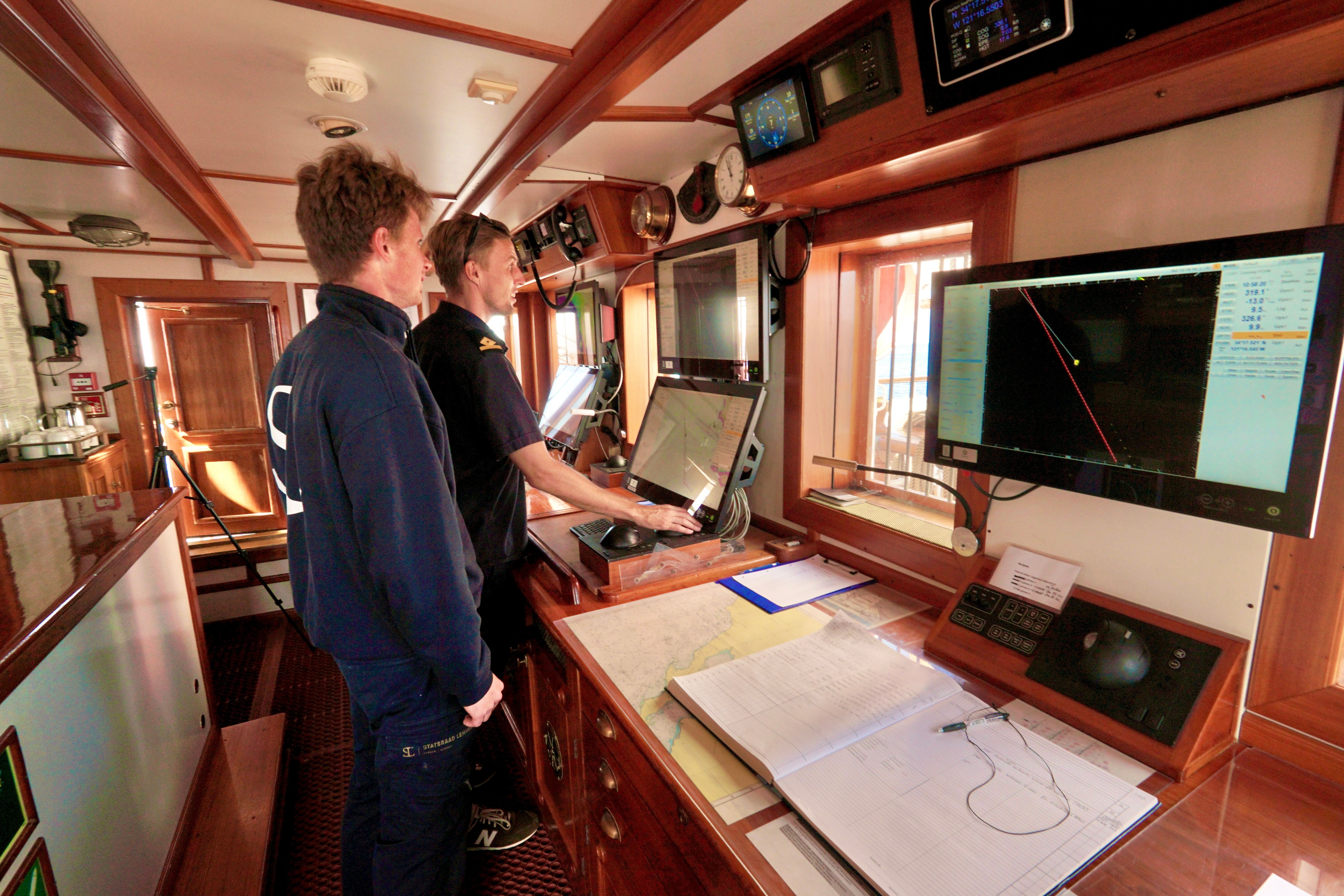
Photo: Hanna Helle


