

Statsraad Lehmkuhl visits Dublin April 5 - 11, 2026
Dublin is the largest city in Ireland, with a population of 1.3 million if the suburbs are included. The city is located where the River Liffey flows into the Irish Sea, the body of water between Ireland and Great Britain.

Vikings
Norwegian ships have sailed into this river mouth for a long time. There is evidence of human activity here dating back to the Stone Age, and the first people to settle permanently were the Gaels in the 7th century, a people who lived across Ireland, Scotland, and the islands further north. But the city itself was established by Vikings just over a hundred years later and was named Dyflin.
The river mouth was a perfect harbour for their longships, and it eventually developed into the Kingdom of Dublin – with a monetary economy and its own coins.
English rule
At the end of the 12th century, the Anglo-Normans took control of Ireland.
At that time, the country consisted of several small kingdoms, but from then on Ireland was under English rule. Dublin grew rapidly during the 17th century and was for a short period the second largest city in the entire British Empire.
Capital city
When Ireland became independent in 1922, Dublin became the capital.
In addition to being the administrative centre, Dublin is an important industrial city and a centre for education, art and culture, and tourism. Dublin is an important cargo and ferry port, and many cruise ships also call at the city.

The River Liffey divides Dublin into two parts, and several smaller rivers and canals give the city a distinctive character. Outside the city there are low mountains to the south, otherwise flat grazing land - as in most of the rest of Ireland.
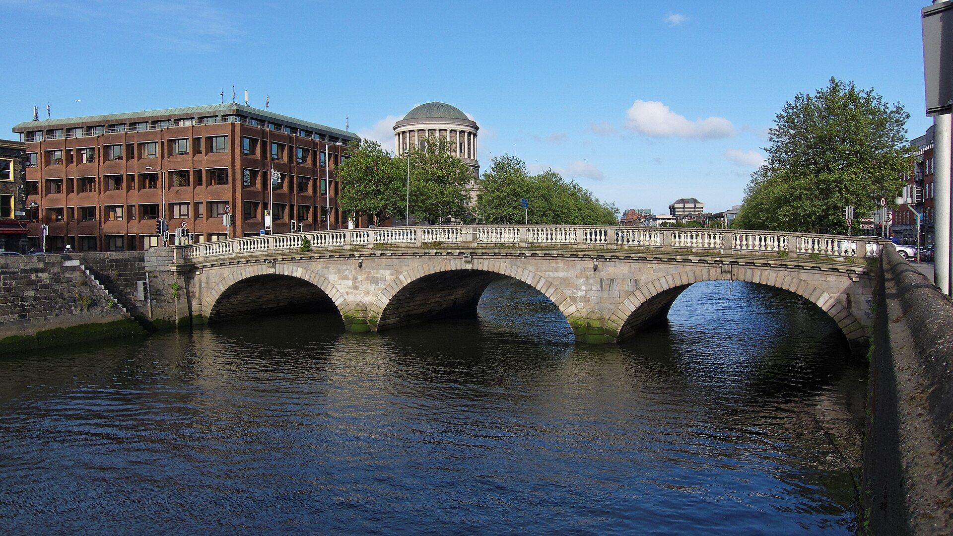
Dublin Bridge. Photo: Barcex / Wikimedia commons
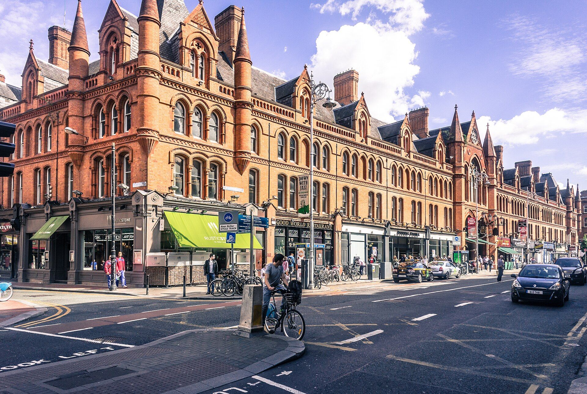
South Great George's Street. Photo: William Murphy / Wikimedia commons
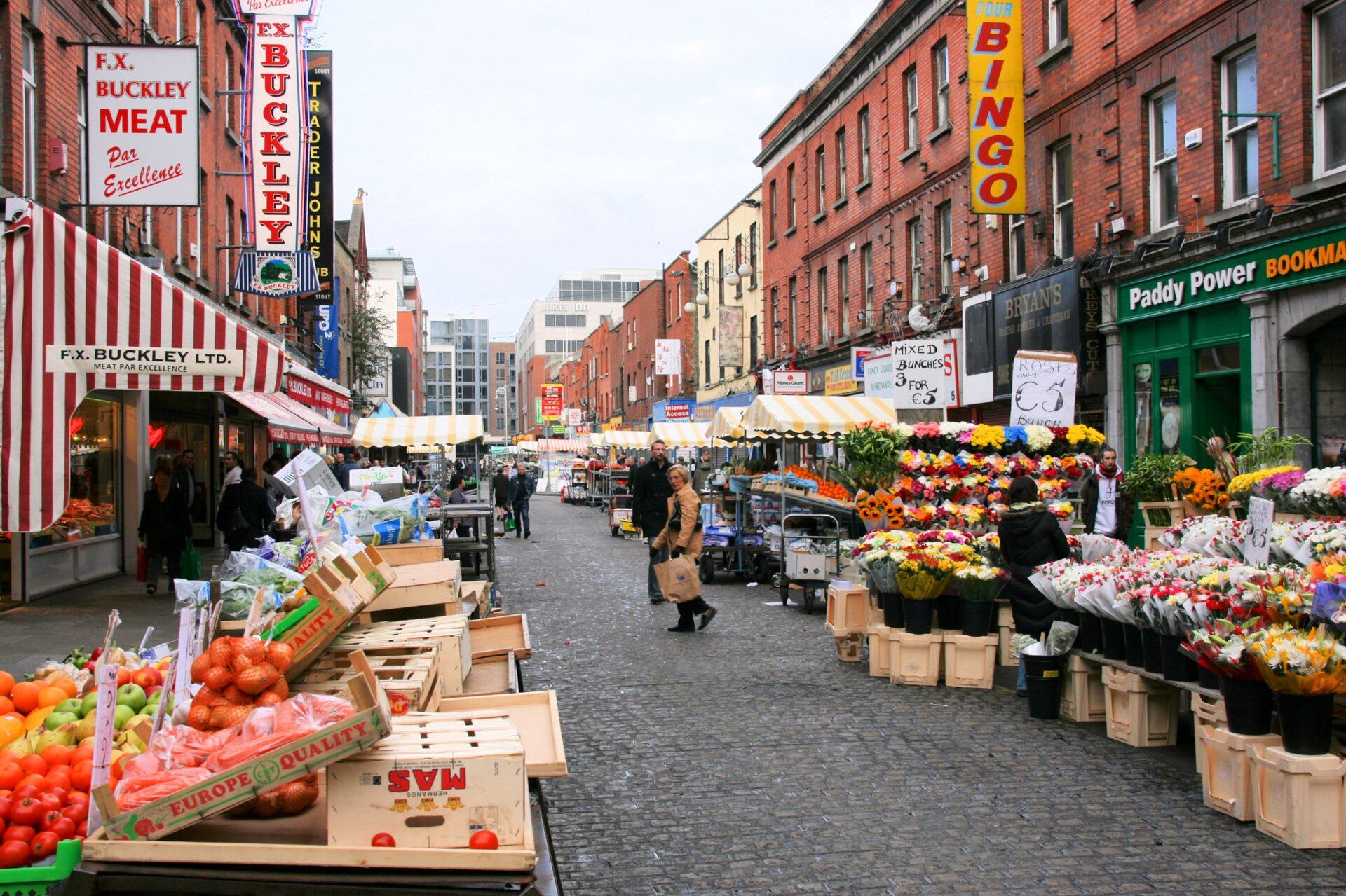
Moore Street Market. Photo: Marek Slusarczyk / Wikimedia commons
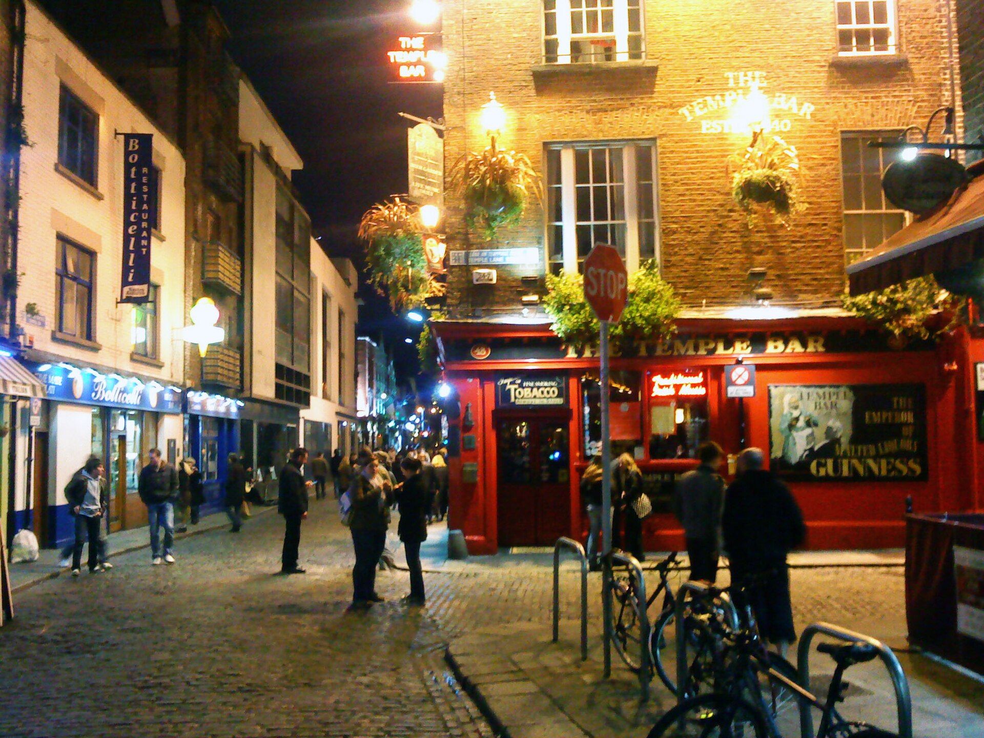
Temple bar at night. Photo: Trevah / Wikimedia commons
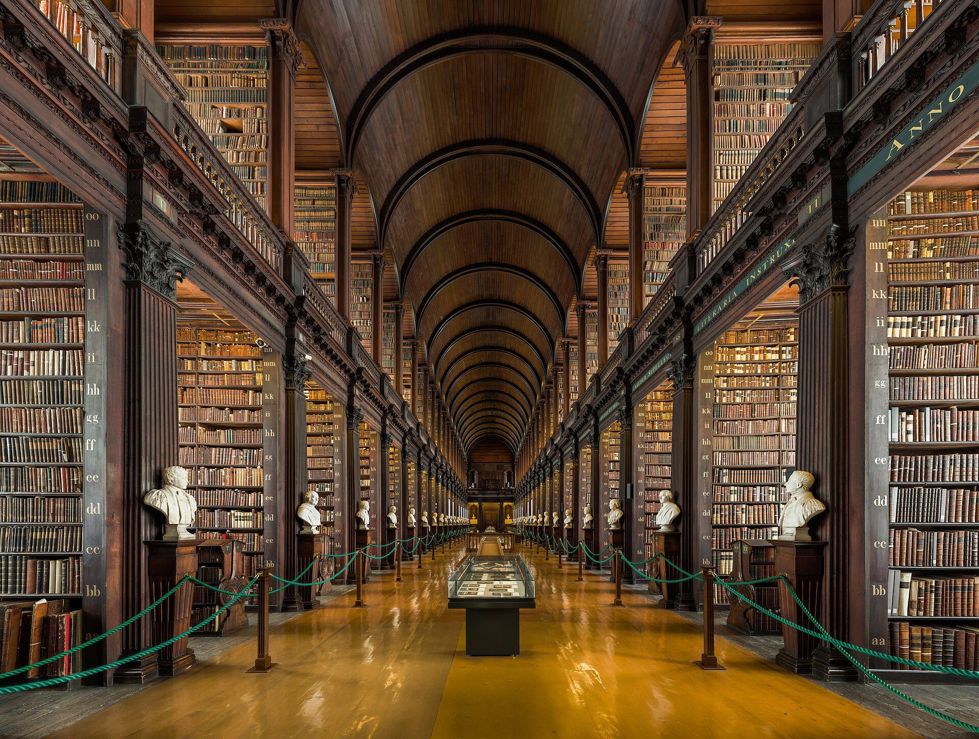
The Old Library at Trinity College. Photo: Diliff / Wikimedia commons
Less rainfall
The proximity to the sea influences the climate. Summer temperatures are rarely much higher than 20°C, and winter temperatures are rarely lower than 4°C.
The city lies on the east side of Ireland, and since most of the rainfall comes in from the west, it is much drier here than on the west coast. Over the course of a year, Dublin normally receives 772 mm of precipitation.
Average maximum temperature in April: 12.3 °C
Average rainfall in April: 55 mm