

Satellites discovered the vortex 50 years ago, but it took a tall-ship to reveal its secrets.
On its way from Tromsø to Reykjavik, Statsraad Lehmkuhl made a research stop off the coast of Lofoten in Norway. The goal was to investigate a fascinating phenomenon, a massive ocean vortex, 60 kilometers wide and one kilometer deep.

Highs and lows
We know that high and low pressure systems control the weather. What determines where they form is air density. Warm air rises because it’s lighter, while cold air sinks. Winds blow from high to low pressure, but because the Earth rotates, the air currents are deflected, turning high- and low-pressure zones into large atmospheric spirals. Air rotates clockwise around high-pressure systems, and counterclockwise around lows.
The same thing happens in the ocean.
Warm water is lighter than cold, and salty water is heavier. These differences in temperature and salinity create circular currents; oceanic vortices.

Small, but important
There’s one major difference between pressure systems in the atmosphere and in the ocean; size.
Atmospheric systems can stretch across thousands of kilometers. Oceanic vortices are often just tens of kilometers wide, but they still play a key role in transporting heat, nutrients, and marine life. They help regulate climate and influence ecosystems.
Hills and hollows
Atmospheric pressure systems are easy to spot in satellite images, thanks to cloud patterns. But satellites can also detect pressure systems in the sea - the ocean surface bulges slightly in high-pressure areas and dips in low-pressure ones. The difference is small, up to a meter, but this is enough for scientists to analyze.
Weather systems in the atmosphere don’t stay in one place for long. Ocean vortices, however, can last for months. One has been spinning off the coast of Lofoten and Vesterålen for at least 50 years. Further back there didn't exist satellites with instruments that could detect it.

The Lofoten Vortex
This phenomenon is now known as the Lofoten Vortex. It is 60 kilometers wide, one kilometer deep, and rotates clockwise, making it a high-pressure vortex.

Since mid-March 2025, ESA, OceanDataLab and the Nansen Center have been monitoring the vortex using satellites that measure sea surface height via radar, ocean color to detect phytoplankton, current patterns, waves, and wind. The result; a uniquely detailed dataset.
But satellites can’t see into the deep - and that’s where Statsraad Lehmkuhl came in.

Sampling the deep
From April 24–26, the ship sailed slowly over the vortex. Onboard researchers collected water samples at various depths, gathered plankton and environmental DNA (eDNA), deployed an advanced Argo float that dives through the water column collecting data, and released surface drifters that sent back real-time data on wave patterns and position. Drones were launched to capture video and aerial images.
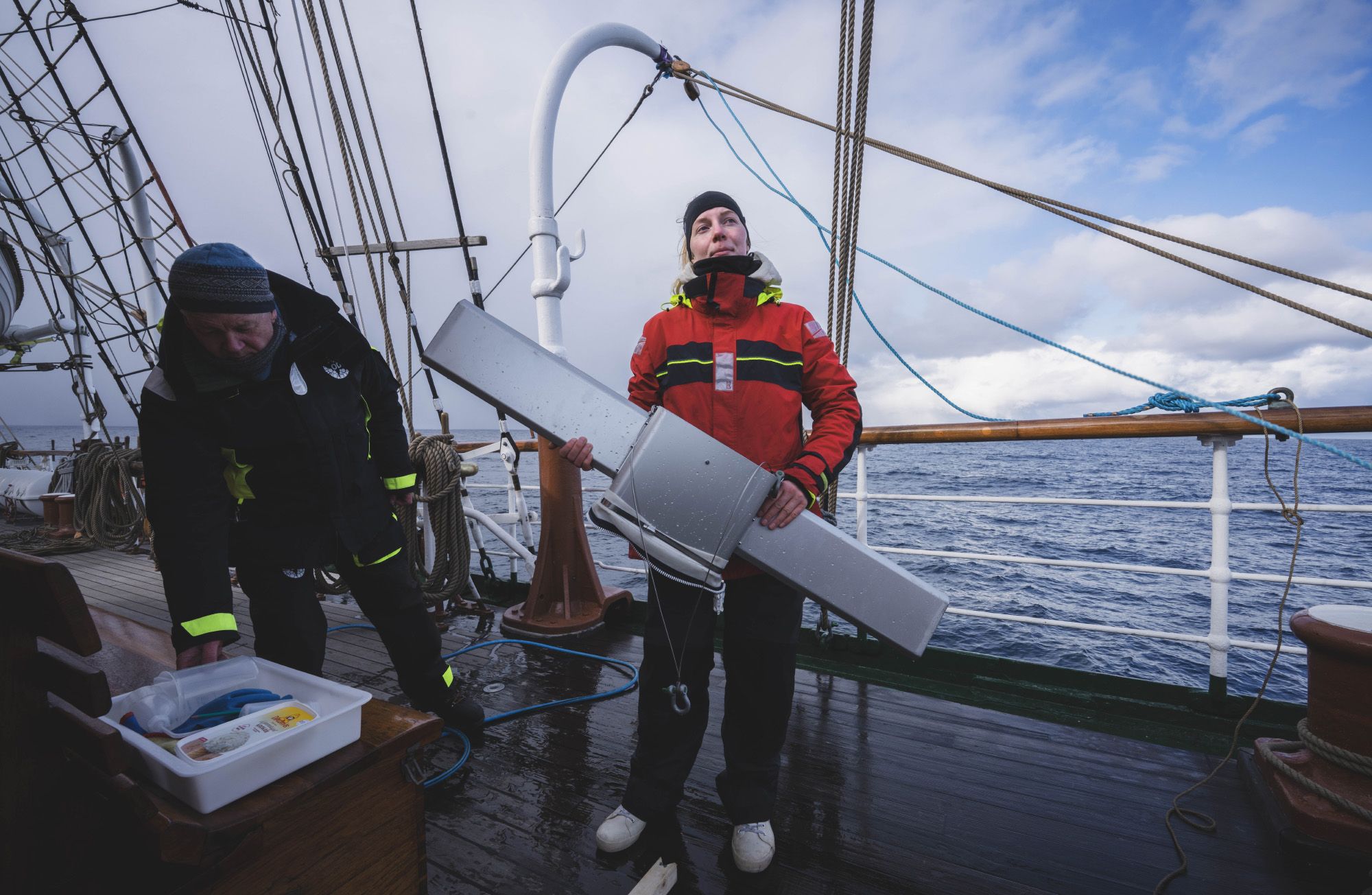
The plankton sampler is made ready for launching. Photo: Matteo Baratella
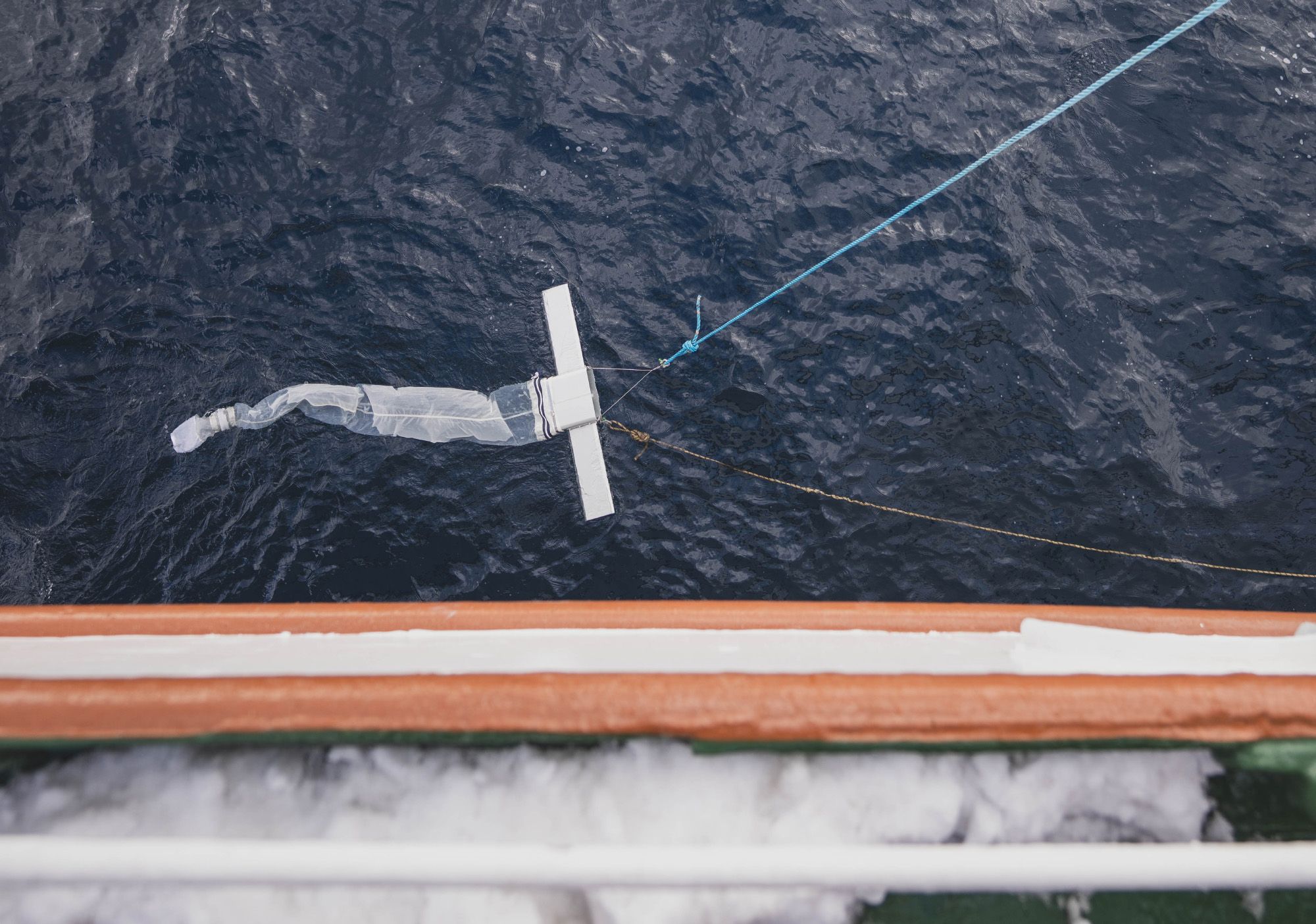
Plankton is captured by the net when the sampler is towed. Photo: Matteo Baratella
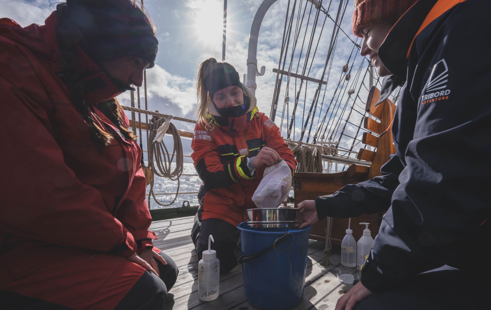
The net is emptied. Photo: Matteo Baratella
The plankton catch. Photo: Matteo Baratella

The plankton catch. Photo: Matteo Baratella
CTD sampling from the ship showed that the water in the vortex core was surprisingly homogeneous, with stable temperature and salinity down to 1000 meters. Data from the Argo float confirmed this.
– All, in all, this hydrographic data confirms that the water mass is of Atlantic water origin. Looking at the ADCP data collected down to 700 m on the way in and out of the anticyclonic eddy further evidences the clockwise rotating deep structure with a mean orbital velocity reaching up to 0.50 m/s, the Nansen Center writes in its preliminary report.

A detailed 3D model
By combining data from surface drifters and deep-sea measurements, researchers created a detailed 3D model of the vortex.
– The deployment of the 10 surface wave drifting buoys in pairs of two at the rim and inside the anticyclonic eddy, further strengthened the unique multidisciplinary data set to study the characteristics of the 3D structure and orbital motion of this clockwise rotating eddy with the center at about 69.5°N and 2°E, the Nansen Center writes.

So, it turns out that a more than 100-year-old sailing vessel has provided scientists with new insights, helping them understand complex systems that only the most advanced satellites can detect.
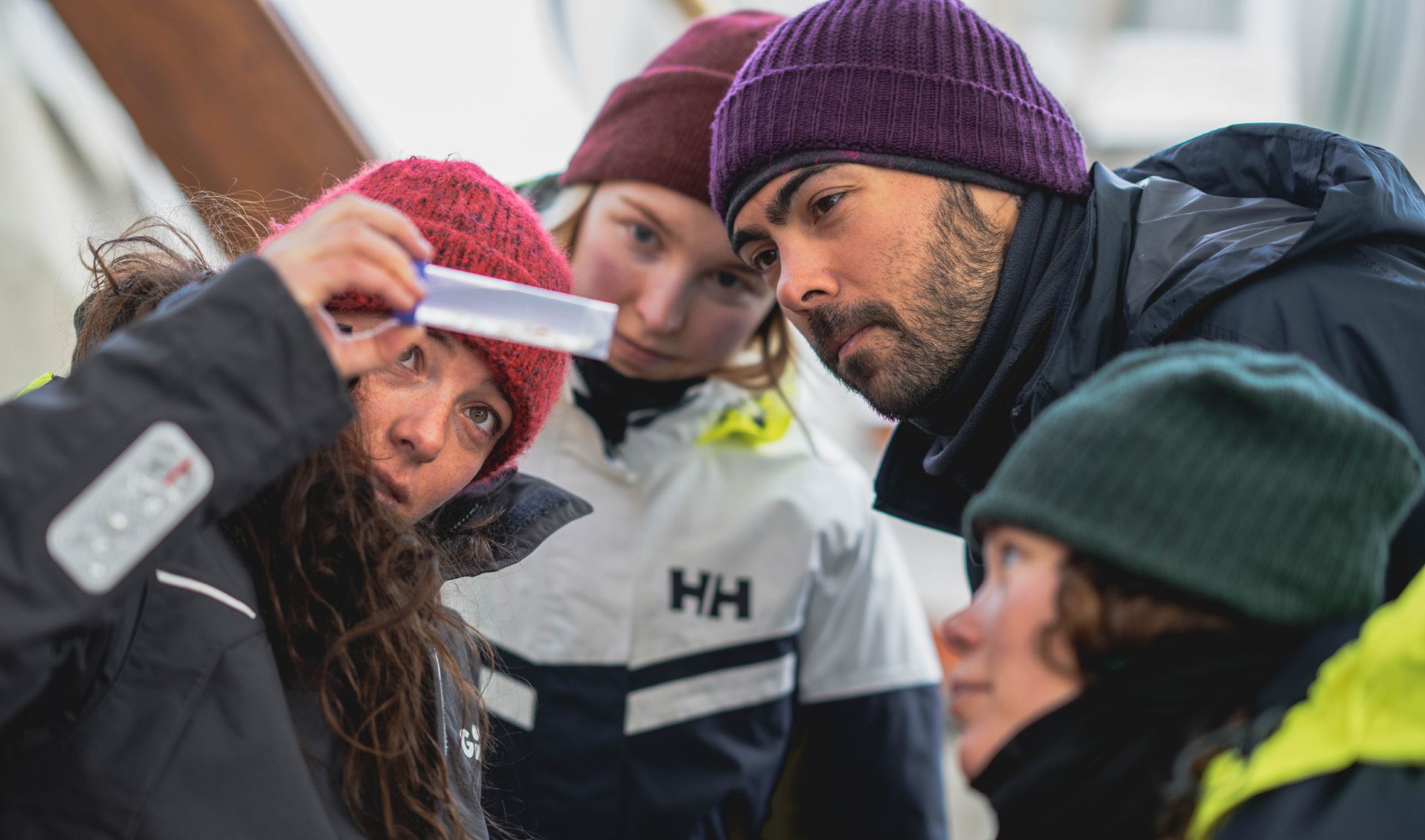
On board is also students from ESA, Ocean Discovery League, and the Nansen Center. The research stop in the Lofoten Vortex gave them important hands-on experience working in the open ocean.

