

Statsraad Lehmkuhl visits Cartagena, December 22, 2025 - January 16, 2026
Cartagena, on the northern coast of Colombia, is one of the most important port cities in the Caribbean, with close to one million inhabitants.
The Spanish arrived in the early 1500s and established a colony here in 1533. The bay where Cartagena lies offers a good natural harbor, and the Spanish settled and founded the city on the site of a local village.
They named the city after Cartagena in Spain, the hometown of many of the sailors who crossed the Atlantic.

Silver
Cartagena became an important export port for silver from Potosí in Bolivia, which in the mid-1500s was the largest silver mine in the world. This made the city an attractive target for pirates and privateers, and after the Englishman Francis Drake attacked in 1586, the Spanish began building the fortification walls that today surround Cartagena’s historic center.
In 1697, French forces attacked Cartagena, and the fortifications were strengthened even further - work that continued until the late 1700s.

Struggle for independence
Cartagena remained under Spanish rule until November 1810, when the Spanish governor was deposed and the city declared itself a free and independent state. In 1815, Spain sent what they called a “pacifying expedition” against Cartagena - 59 ships and more than 10,000 men. The city was besieged from August until February 1816.
Thousands died of hunger and disease before the city finally fell, and several of its leaders were executed. But in 1820, rebel forces attacked the city again and regained control in October 1821.
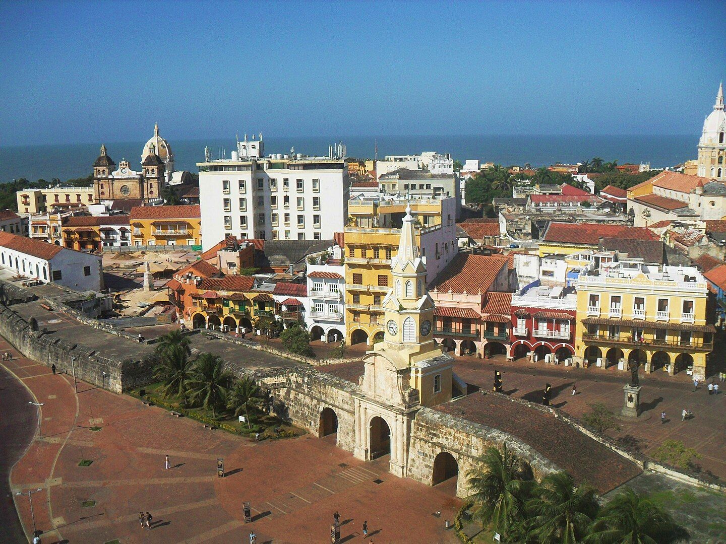
Aerial view of the historic center. Photo: Ivonne Correa / Wikimedia commons
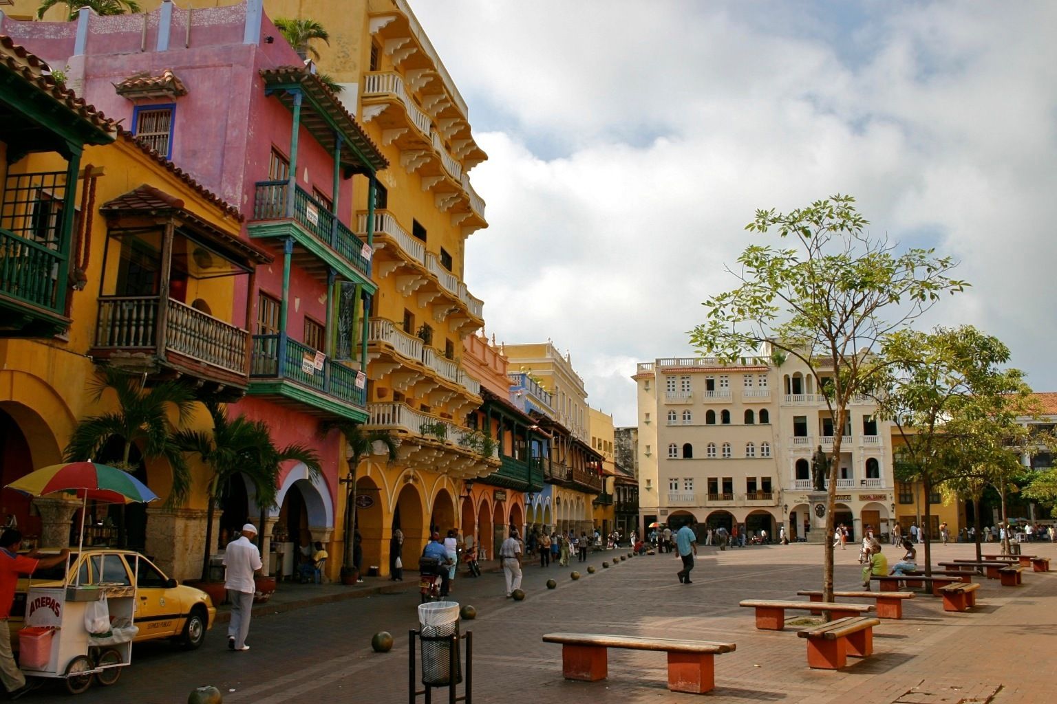
Plaza de los Coches. Photo: Bernd Lutz / Wikimedia commons
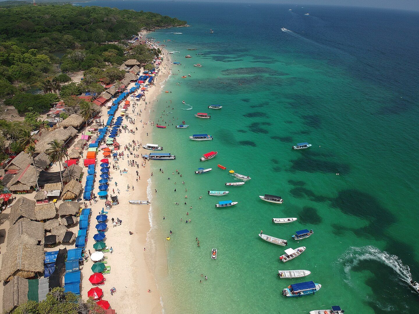
Playa Blanca Beach. Photo: Felipeortegag / Wikimedia commons
Years of conflict, a deadly cholera epidemic, and the rise of competing ports led to a long decline. Conditions improved toward the end of the 19th century, when the city got a railway connection and state support for reconstruction and modernization.
Today, Cartagena has one of the largest ports in South America, and trade, industry, and tourism are key sectors.
Tropical climate
The climate is tropical, with one wet and one dry season. A total of 1,073 mm of rain falls annually, most of it between May and November, with October as the wettest month. The normal maximum temperature is 31–32 degrees year-round.
Normal maximum temperature in December: 31.4 °C
Normal rainfall in December: 48 mm
